Leading Surveying and Geospatial / Spatial data processing services for your industry
Fotogrammetria
Laser Scanner 3D
GIS e Cartografia
Elaborazione Dati
Rilievo Edilizio
Geodesia Catastale
Monitoraggio
Ispezioni
Anni di attività
Progetti
Uffici
Clienti soddisfatti
Riduci i costi di elaborazione dati fino al 70%!
Cut your Scan 2 BIM, Scan 2 CAD, Photogrammetry and any other type of LiDAR (point cloud) data processing by hiring our team.
Risk free! Unique offer! 1st demonstartion processing is on us!
News, projects and success stories
Benefits working with us

Professional services
Our professional surveying services offer clients accurate, reliable, and comprehensive data, ensuring informed decision-making, regulatory compliance, and optimal land management, ultimately saving time and resources in various industries and applications.

Risultati della migliore qualità
I risultati di indagine di migliore qualità forniscono ai clienti dati precisi e affidabili, consentendo un processo decisionale informato, conformità normativa ed esecuzione efficiente dei progetti, portando in ultima analisi a risparmi sui costi e risultati positivi in diversi settori e applicazioni.

Completamento del progetto più veloce
Il rapido completamento del progetto avvantaggia i clienti riducendo i costi, minimizzando le interruzioni e garantendo risultati tempestivi, migliorando l'efficienza e la soddisfazione complessive in vari settori e applicazioni.

Exponential cost reduction
Sfruttando le più recenti tecniche di rilevamento, garantiamo risparmi sui costi per i nostri clienti attraverso maggiore precisione, processi semplificati e un ridotto utilizzo delle risorse, massimizzando in definitiva l'efficienza e il valore in vari settori e applicazioni.
Project photos
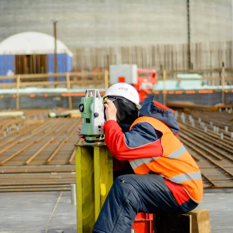
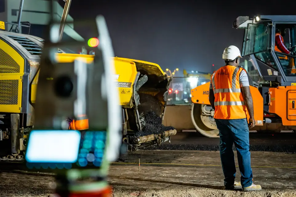
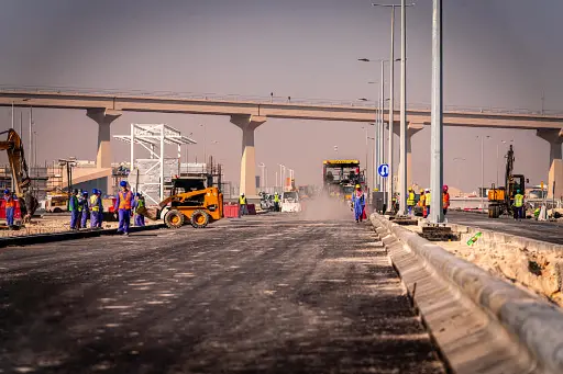
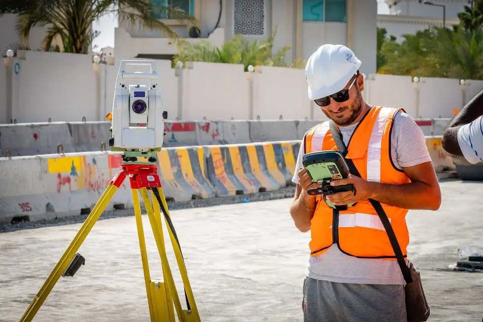
*Dsclamer - Tutte le foto presentate sono state scattate dal nostro team e come tali non possono essere utilizzate e presentate altrove - *End of disclamer
Do You have project or need for Geospatial Services?
Contact us now and we will solve your problems!
