The Power of Extraction: Understanding Mining
The mining industry sector involves the extraction of minerals, metals, and other geological resources from the Earth's crust. It plays a crucial role in supplying raw materials essential for various industries, infrastructure development, and manufacturing processes worldwide.
Types of mining
Mining can be categorized into several types based on the methods and techniques used to extract minerals and resources from the Earth's crust. Here are the main types of mining:

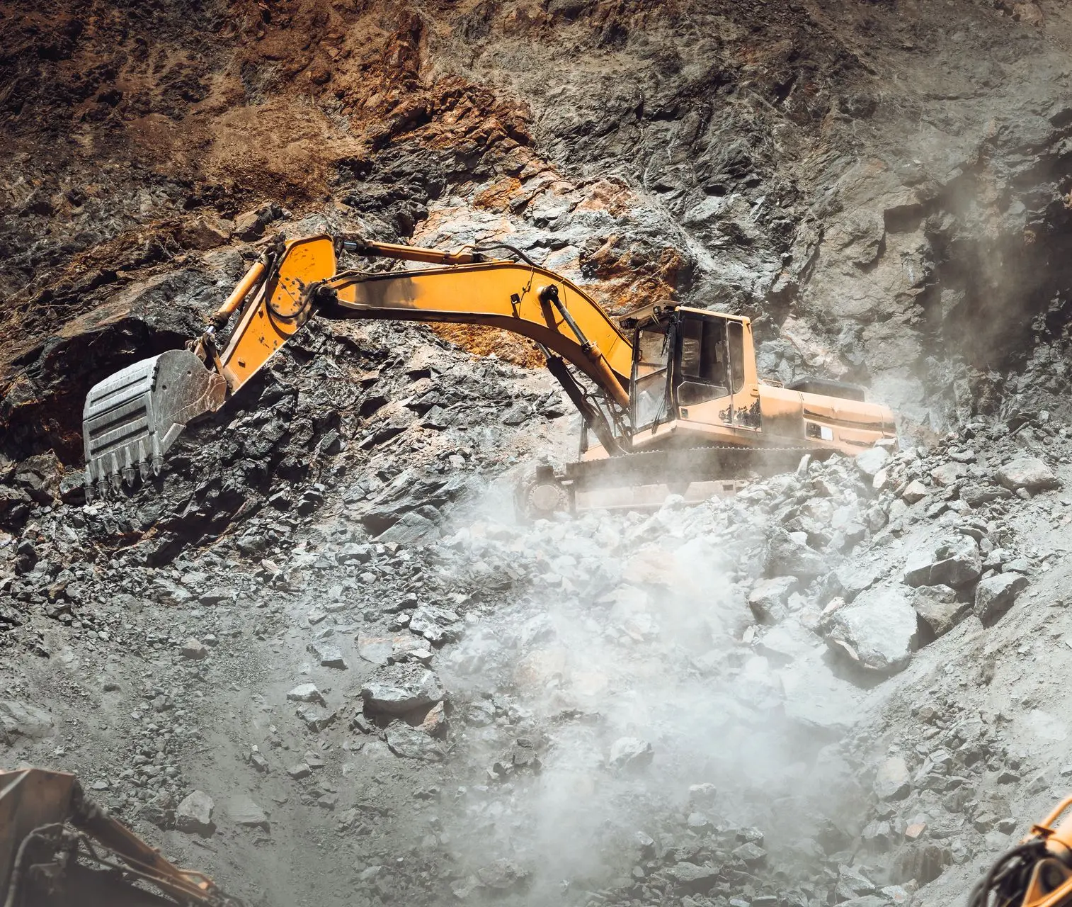
Surface

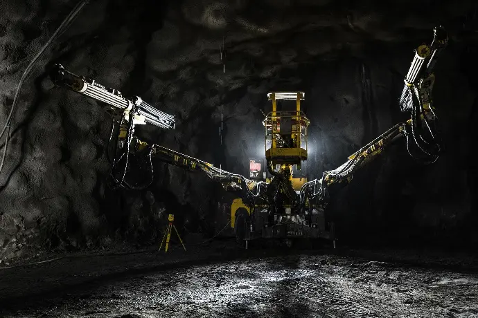
Underground

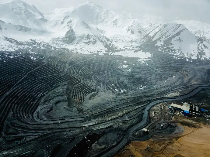
Open pit

Placer

In-situ

Heap Leaching
Unlock Precision and Efficiency in Your Mining Operations with us!
Enhance your mining projects with our cutting-edge geospatial solutions tailored to optimize planning, increase safety, and ensure compliance. Contact us today to discover how our expertise in GIS mapping, remote sensing, and geotechnical analysis can drive your success in the mining sector.
Reach out now to schedule a consultation and elevate your mining operations to new heights.
Mining has a rich and extensive history that dates back thousands of years, evolving from primitive methods to sophisticated industrial practices. Here are some key milestones in the history of mining:
- Ancient Civilizations: The earliest evidence of mining dates back to prehistoric times when early humans extracted flint, obsidian, and other minerals for tools and weapons. Ancient civilizations such as the Egyptians, Greeks, and Romans engaged in mining for metals like copper, iron, silver, and gold, using simple tools and techniques.
- Medieval and Renaissance Era: During the Middle Ages, mining became more organized with the establishment of mining guilds and the development of more advanced mining techniques such as underground shafts and tunnels. The Renaissance saw increased exploration and mining activities in Europe as demand for metals grew with the expansion of trade and commerce.
- Industrial Revolution: The 18th and 19th centuries marked a significant shift in mining with the advent of steam-powered machinery and industrial-scale mining operations. Innovations such as the steam engine, dynamite, and railways revolutionized mining, enabling deeper and more efficient extraction of minerals.
- Technological Advancements: The 20th century brought further advancements in mining technology, including electric-powered machinery, drilling technologies, and the use of explosives and mechanization. These innovations allowed for greater productivity and safety in mining operations worldwide.
- Modern Era: In recent decades, mining has become increasingly globalized, with multinational corporations playing a dominant role in mineral extraction. Environmental and social sustainability have become key concerns, leading to the development of responsible mining practices and technologies aimed at minimizing environmental impact and promoting community engagement.
Throughout history, mining has been pivotal in shaping economies, societies, and cultures by providing essential raw materials for industrial development, infrastructure, and technological advancement. The evolution of mining reflects humanity's continuous quest for resources and innovation in harnessing Earth's geological wealth.
Precision Mapping: Enhancing Efficiency in Mining Operations!
GIS Mapping: Develop and manage Geographic Information System (GIS) databases specific to mining operations. GIS mapping enables spatial analysis, resource management, and visualization of geological and operational data.
Spatial Analysis: Conduct spatial analysis to identify patterns, trends, and relationships within mining data. This includes terrain analysis, proximity analysis of infrastructure, and spatial modeling for planning and decision-making.
Data Integration: Integrate geospatial data from various sources such as satellite imagery, aerial surveys, and ground-based sensors into mining software and operational systems. This ensures comprehensive data management and facilitates informed decision-making.
Mining Surveying: Provide accurate surveying services tailored to mining activities, including stakeout surveys, as-built surveys, and monitoring of mining infrastructure. These surveys ensure precise positioning and alignment crucial for operational safety and efficiency.
Topographic Mapping: Create detailed topographic maps of mining sites to depict terrain features, elevation changes, and natural obstacles. Topographic maps are essential for planning infrastructure, access roads, and drainage systems.
Boundary Surveys: Conduct boundary surveys to define property boundaries, land ownership, and legal boundaries within mining concessions. This ensures compliance with land use regulations and prevents disputes over land rights.
Remote Sensing Applications: Utilize satellite imagery and aerial drones for remote sensing applications in mining. Remote sensing aids in geological mapping, vegetation analysis, and detecting environmental changes over time.
Aerial Drone Services: Deploy drones for aerial surveys, photogrammetry, and site inspections in mining operations. Drones provide high-resolution imagery and 3D models for volumetric calculations, site monitoring, and safety inspections.
Monitoring: Implement geospatial solutions for structural monitoring and management. Structural monitoring involves the continuous or periodic assessment of structural integrity, performance, and safety through data collection and analysis of parameters such as movement, deformation, and environmental conditions.
Geospatial Analysis: Geospatial analysis refers to the process of examining geographic data to uncover patterns, trends, and relationships that can provide insights into spatial phenomena. It involves using techniques such as spatial statistics, modeling, and visualization to interpret spatial data effectively for informed decision-making in various fields including urban planning, environmental management, and resource allocation.
Slope Stability Assessments: Assess the stability of slopes and excavations using geospatial techniques. Slope stability assessments help identify potential risks of slope failure and support safe mining operations.
3D Modeling: Develop detailed 3D models of mining sites and geological formations. 3D models facilitate visualization, spatial analysis, and simulation of mining processes, aiding in resource estimation, mine planning, and infrastructure design.
Expert Consultancy Services: Provide specialized consultancy services in geospatial technologies tailored to the mining industry. Consultancy services may include project management, feasibility studies, and technical advisory on geospatial applications in mining operations.
Training Programs in Geospatial Technologies: Offer customized training programs to mining professionals and stakeholders on the use of geospatial tools and technologies. Training enhances skills in GIS mapping, remote sensing, and data analysis, empowering teams to leverage geospatial data effectively.
Unlock Precision and Efficiency in Your Mining Operations with us!
Enhance your mining projects with our cutting-edge geospatial solutions tailored to optimize planning, increase safety, and ensure compliance. Contact us today to discover how our expertise in GIS mapping, remote sensing, and geotechnical analysis can drive your success in the mining sector.
Reach out now to schedule a consultation and elevate your mining operations to new heights.


