Precision Drone Photogrammetry Surveys | Accurate 3D Mapping & Data
Our drone photogrammetry surveying services provide unparalleled accuracy and efficiency for a wide range of industries. Leveraging cutting-edge UAV technology and advanced photogrammetry software, we capture high-resolution aerial imagery to generate detailed 3D models, orthomosaics, DEMs (digital elevation models), DTMs (digital terrain models) and point clouds.
✽ What We Offer
Discover benefits of Our Drone Photogrammetry Services
High accuracy
Precise geospatial data for informed decision-making.
Cost-Effective solution
Reduced project costs compared to traditional surveying methods.
Rapid data acquisition
Faster turnaround times for project completion.
Enhanced safety
Access to hazardous or difficult-to-reach areas.
Detailed 3D modelling
Comprehensive visualization for analysis and planning.
DEM Models
Precise digital elevation models
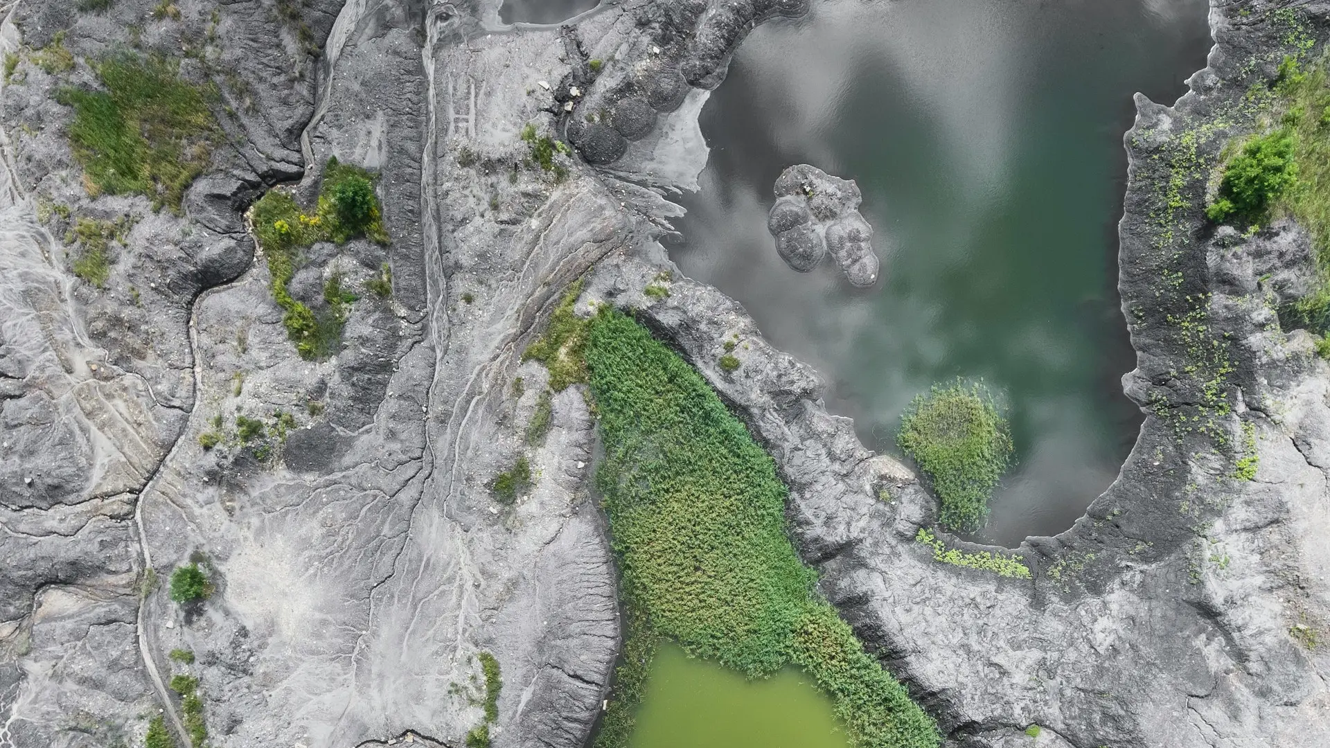
Point clouds
Precise and colorful 3D point clouds
Orthophoto / True orthophotos
Orthorectified ortho imagery
Topography Survey plans
Extracted from previous data, ready to use in projects
One of our project completed with Drone photogrammetry
In this innovative project, we harness the power of drone photography taken from various vantage points of the bridge to create highly accurate 3D point cloud data. This invaluable data not only enables us to construct a detailed 3D model of the bridge but also facilitates the generation of stunning orthophotos and comprehensive terrain and 3D CAD models, ensuring precision and excellence in our engineering solutions...

Typical applications - use cases
For each project, we carefully select the tools from our toolkit that best suit the requirements. The ultimate goal is always perfection!
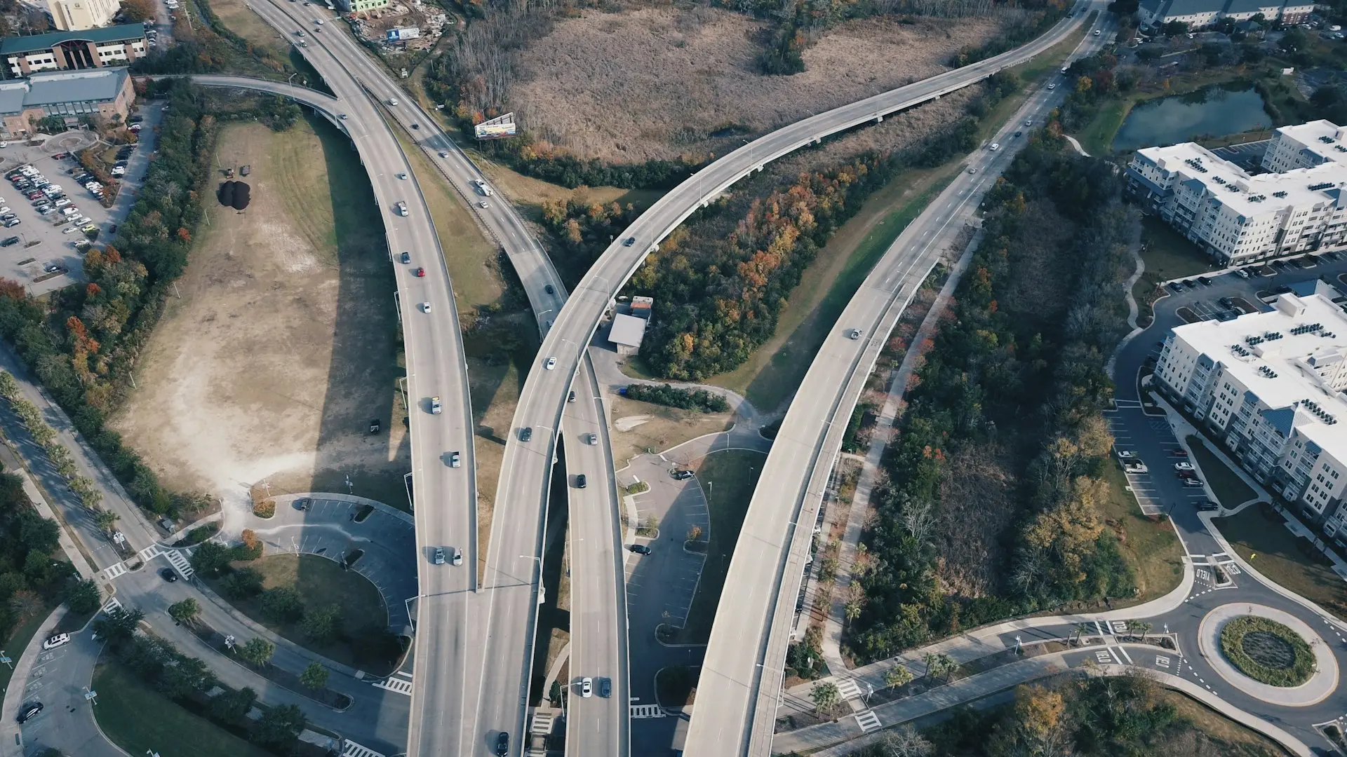 Construction and Infrastructure
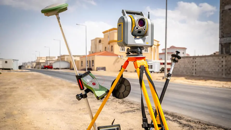 Land Surveying and Mapping
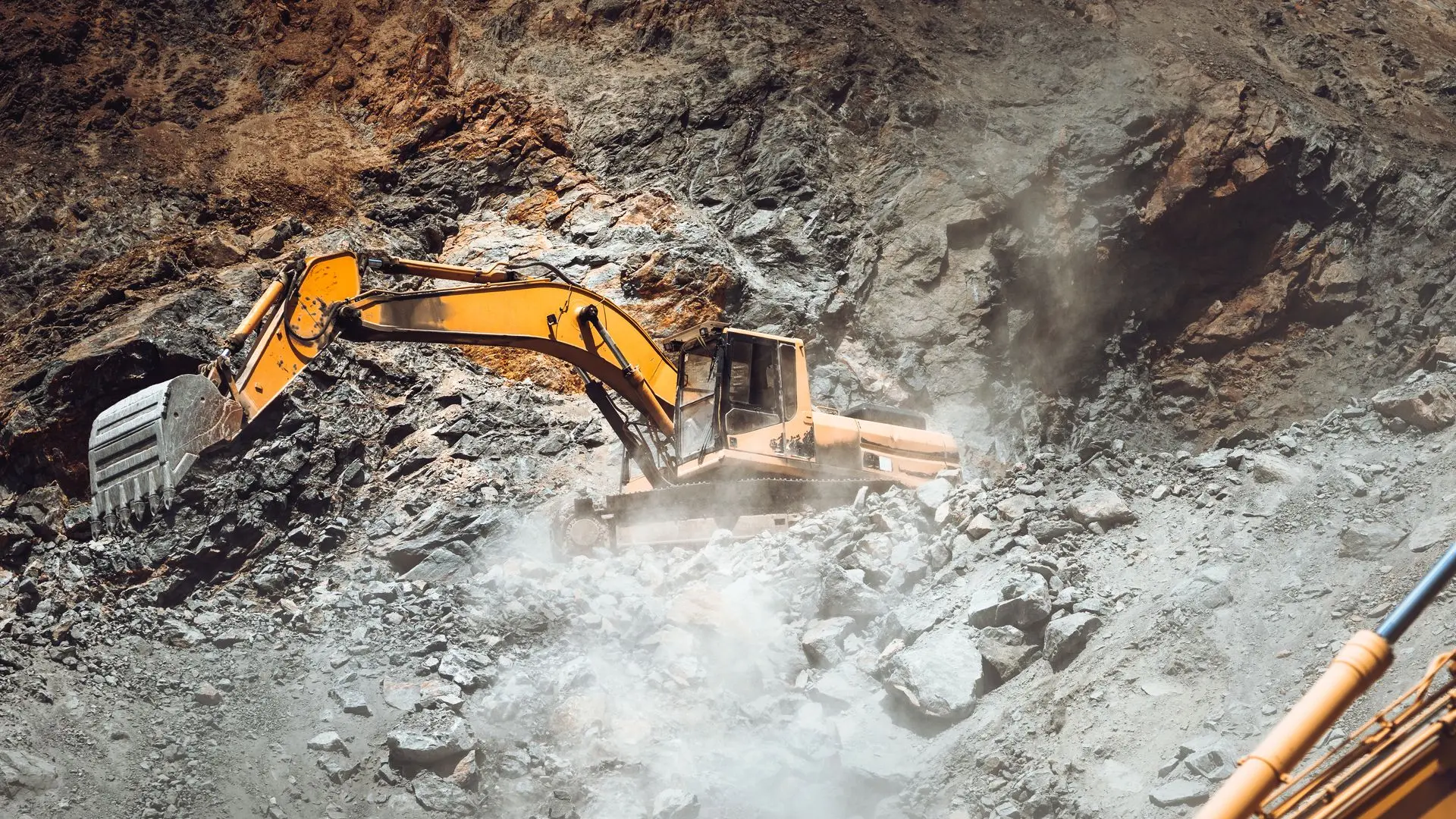 Mining & Quarrying
 Environmental Monitoring
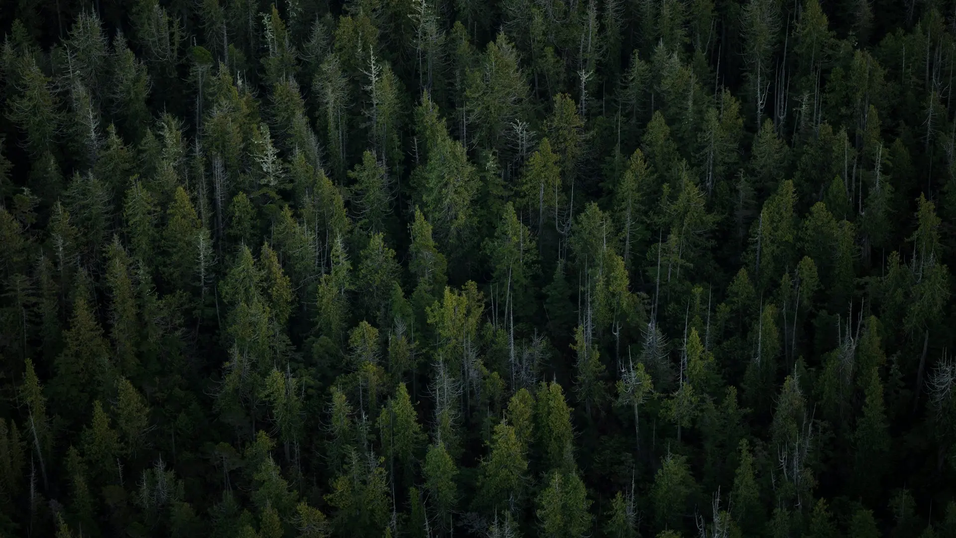 Agriculture & Forestry
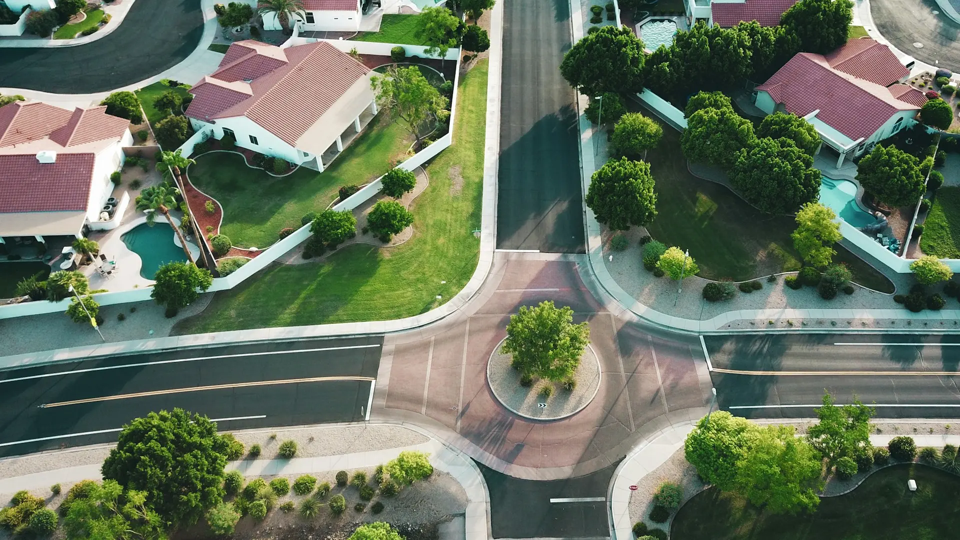 Real Estate & Development
Click on the button and book a video meeting.
We will get to know each other, talk about your wishes and help you to choose the best surveying techniques for all your needs.