Cutting-Edge Geographic Information Systems for Precise Mapping, Detailed Cartography, and Efficient Geoportals
Beautiful Map creation
Data collection integration and management
Geospatial analysis
App programming
How GIS Services are used?
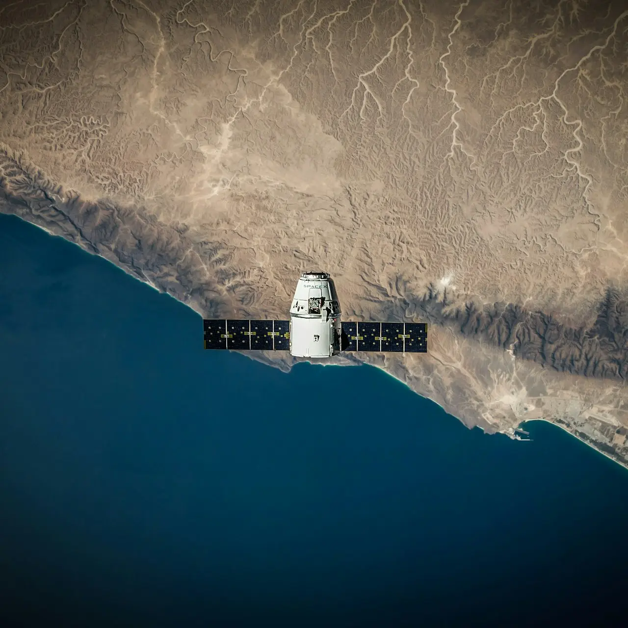
Monitor Earth Changes
GIS is used to track and analyze global changes like natural disasters, urban growth, and climate patterns.
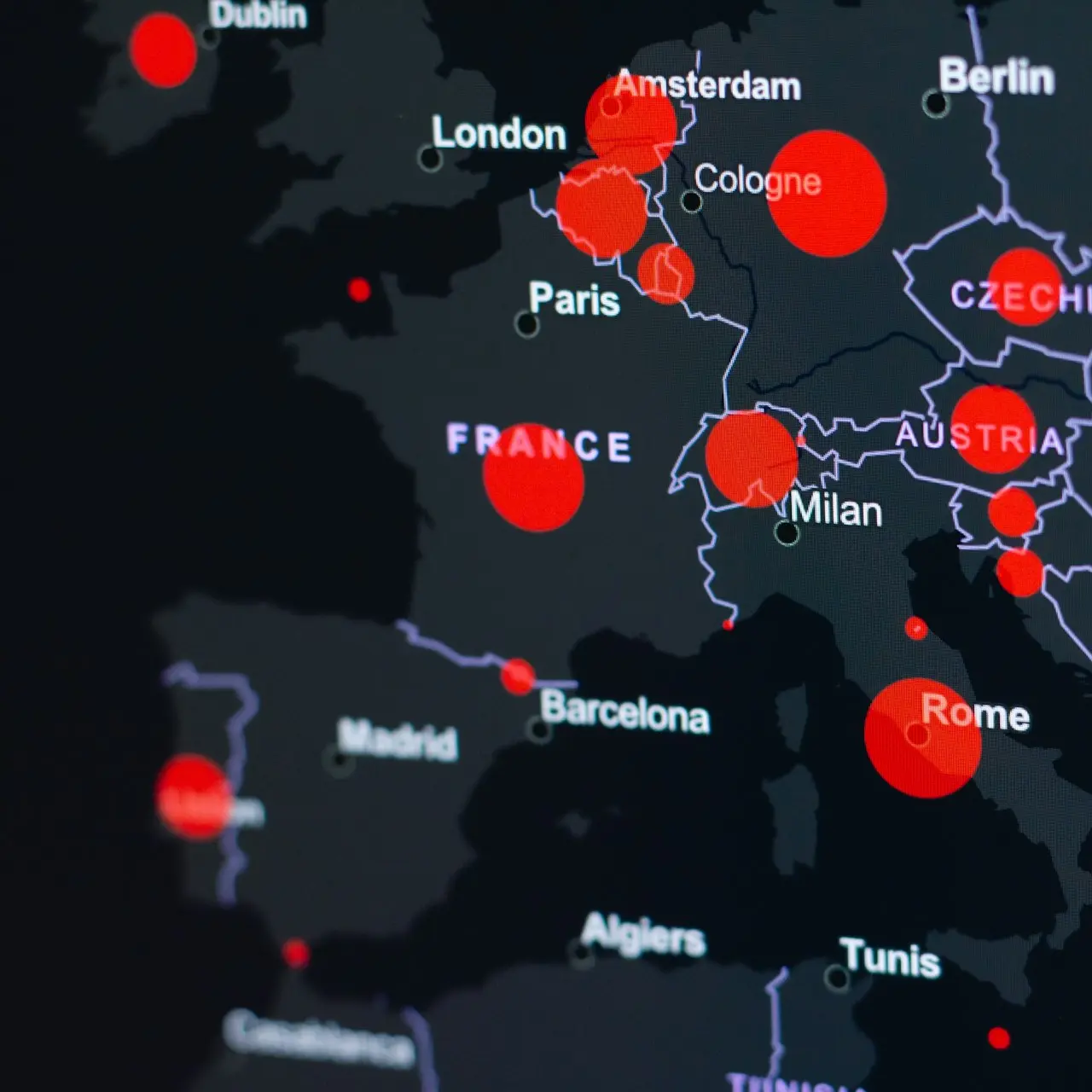
Event response and management
GIS in event response allocates resources, assesses risks, provides real-time mapping, and supports decision-making.

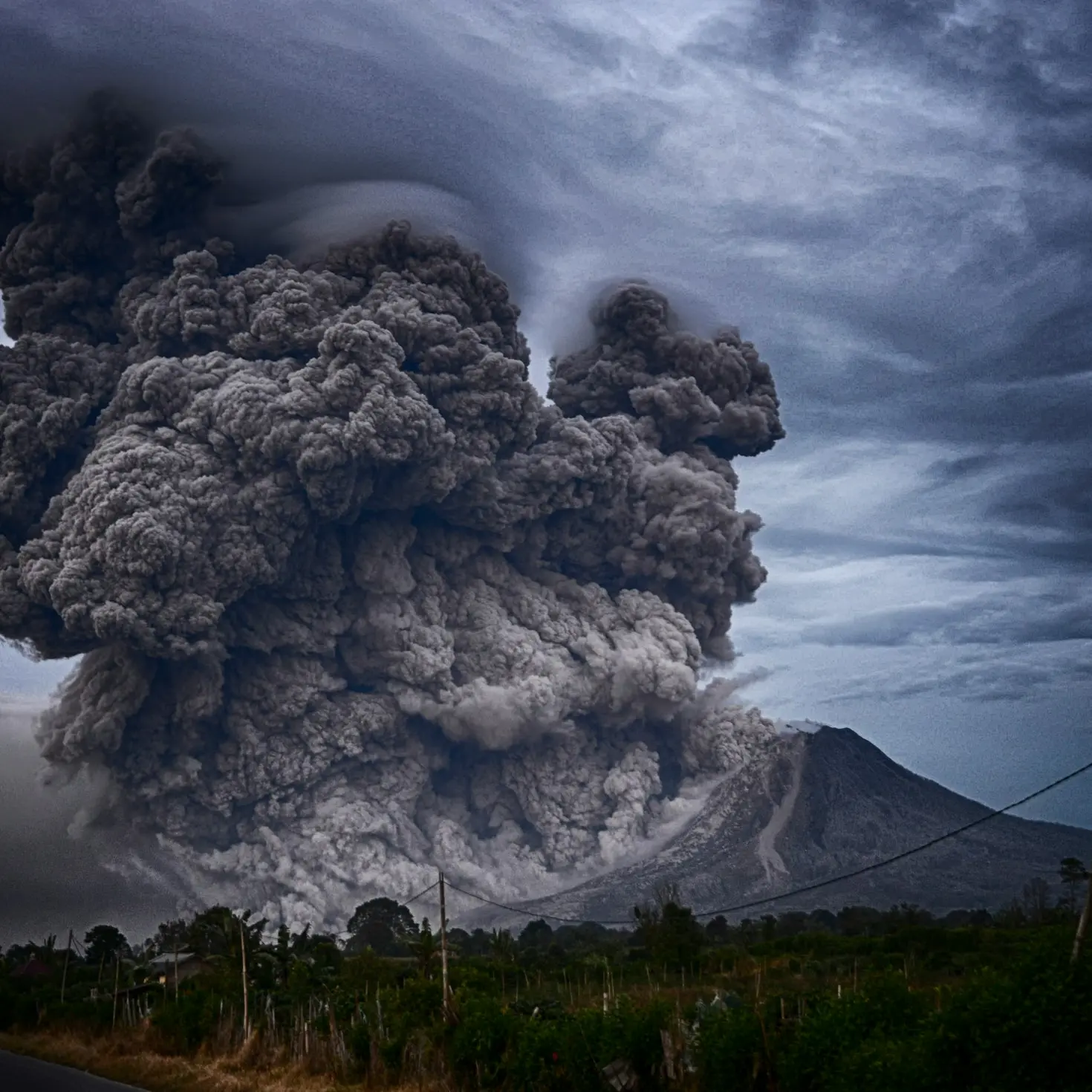
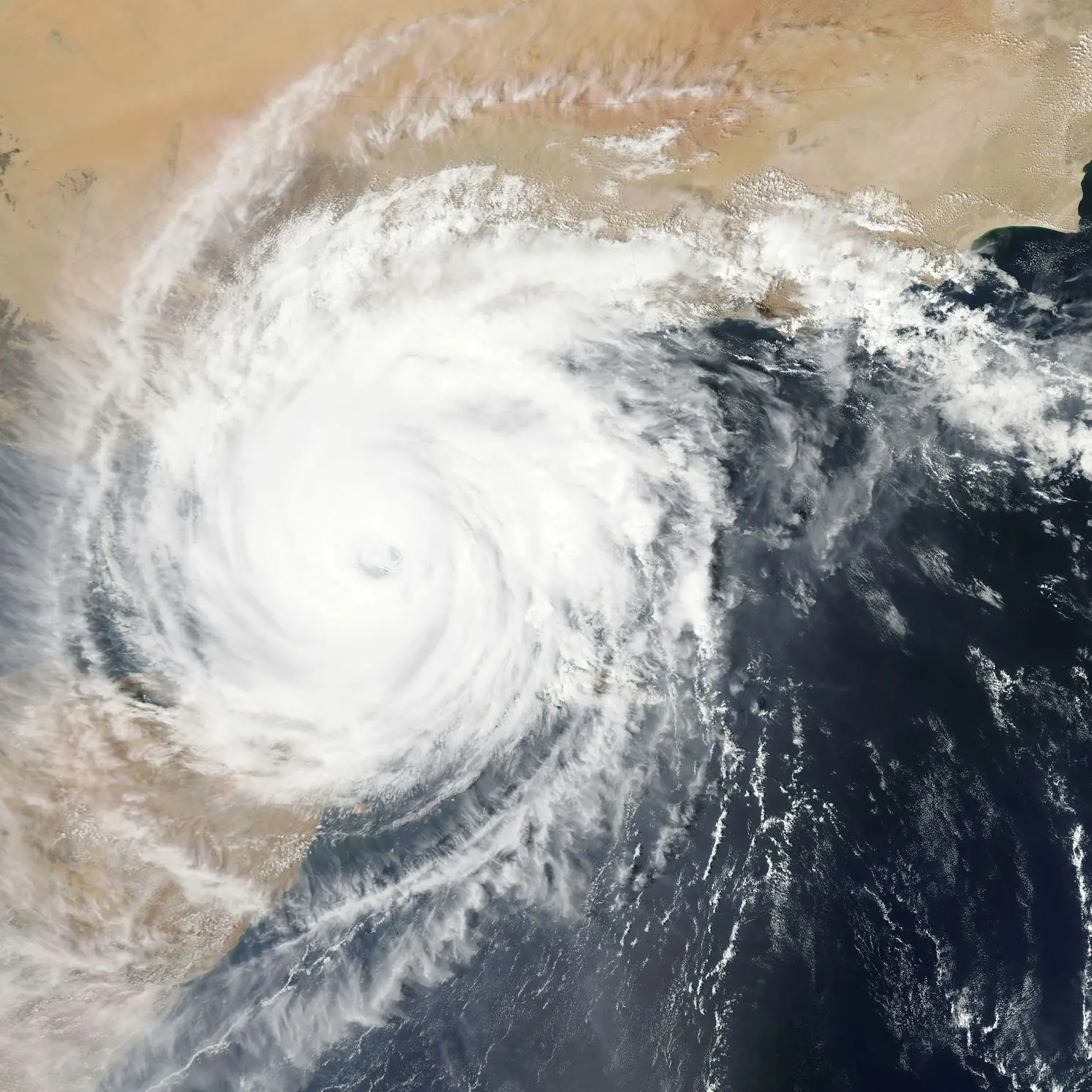
Forecasting
GIS is used to analyze spatial data, identify patterns, and predict potential problems like floods, wildfires, and disease outbreaks.
Understand data, trends and events
GIS helps analyze spatial data to understand patterns, trends, and relationships, providing valuable insights.
Elevating Perspectives, Mapping Horizons: Your Gateway to Precision GIS Solutions.
Call us for any assistance that you need, inform yourself, and get a FREE CONSULTATION. We will help you to solve any issue you have.
Connected or similar services
Photogrammetry
click to find out more
Monitoring Services
click to find out more
Inspection Services
click to find out more
Coming from one of the following industries?
Choose the industry to find our packages that best suites your project and get the best quote.
Government
click to find out more
Mining
click to find out more
Transportation
click to find out moreEnergy
click to find out more