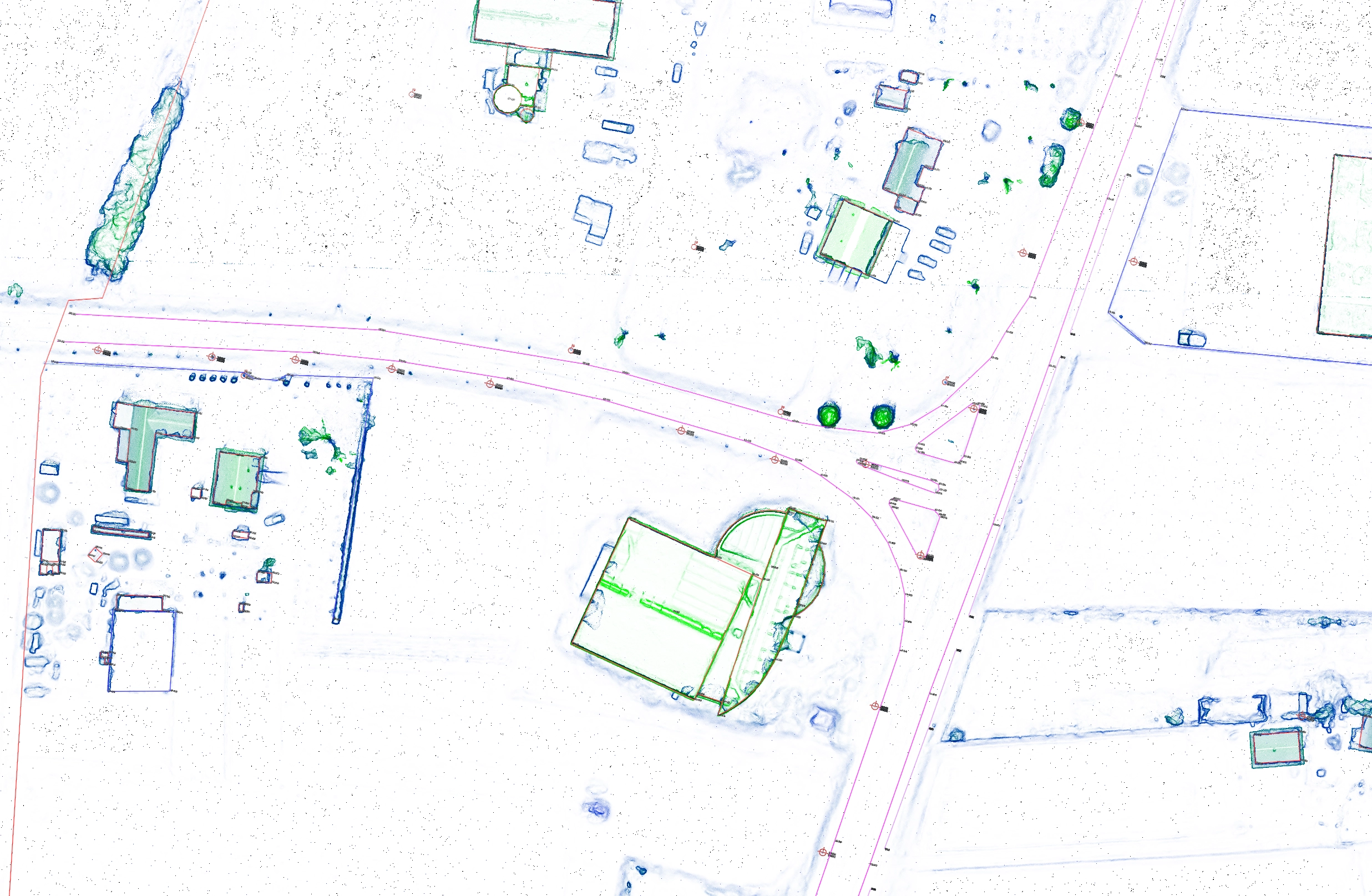
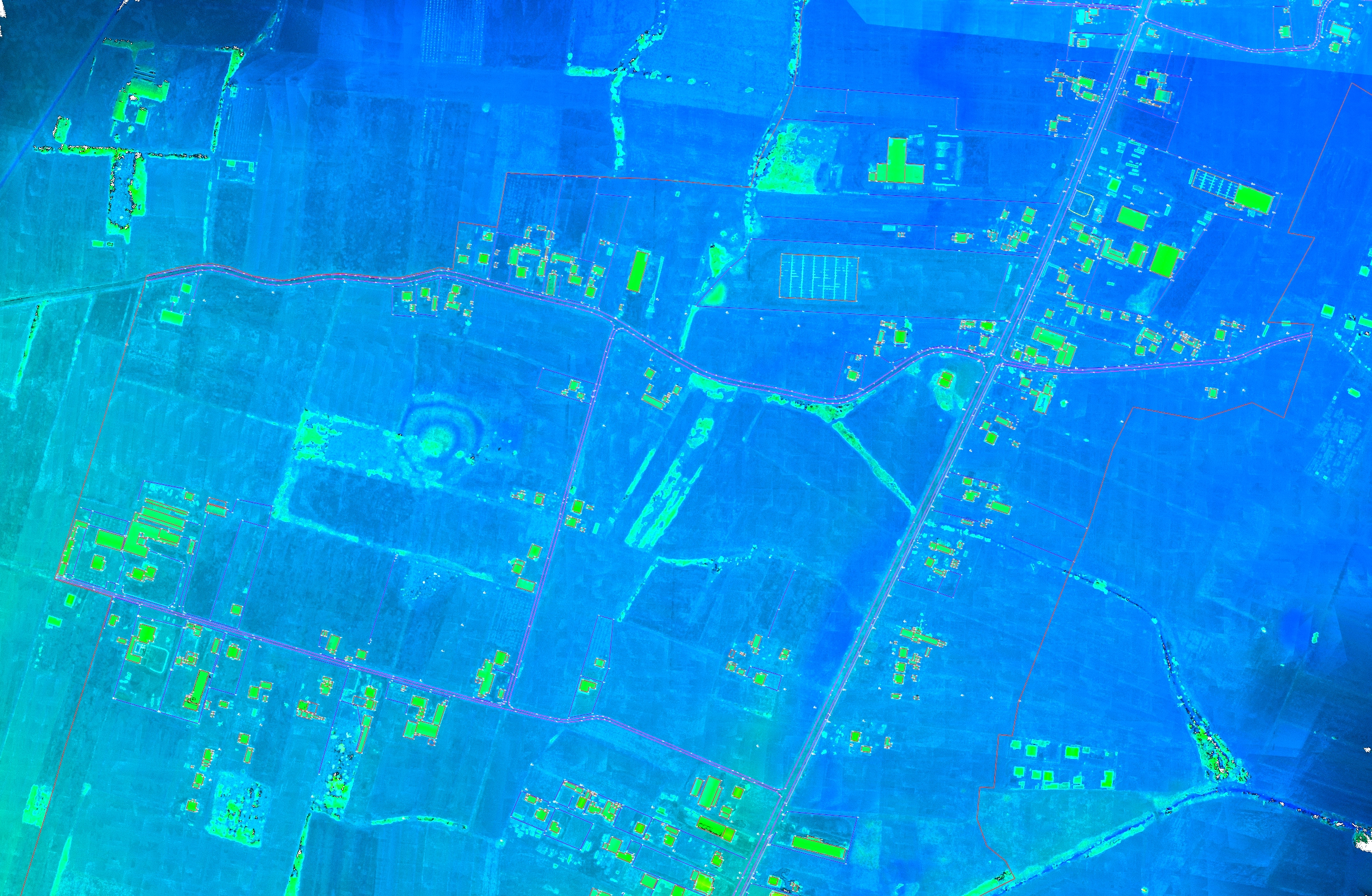
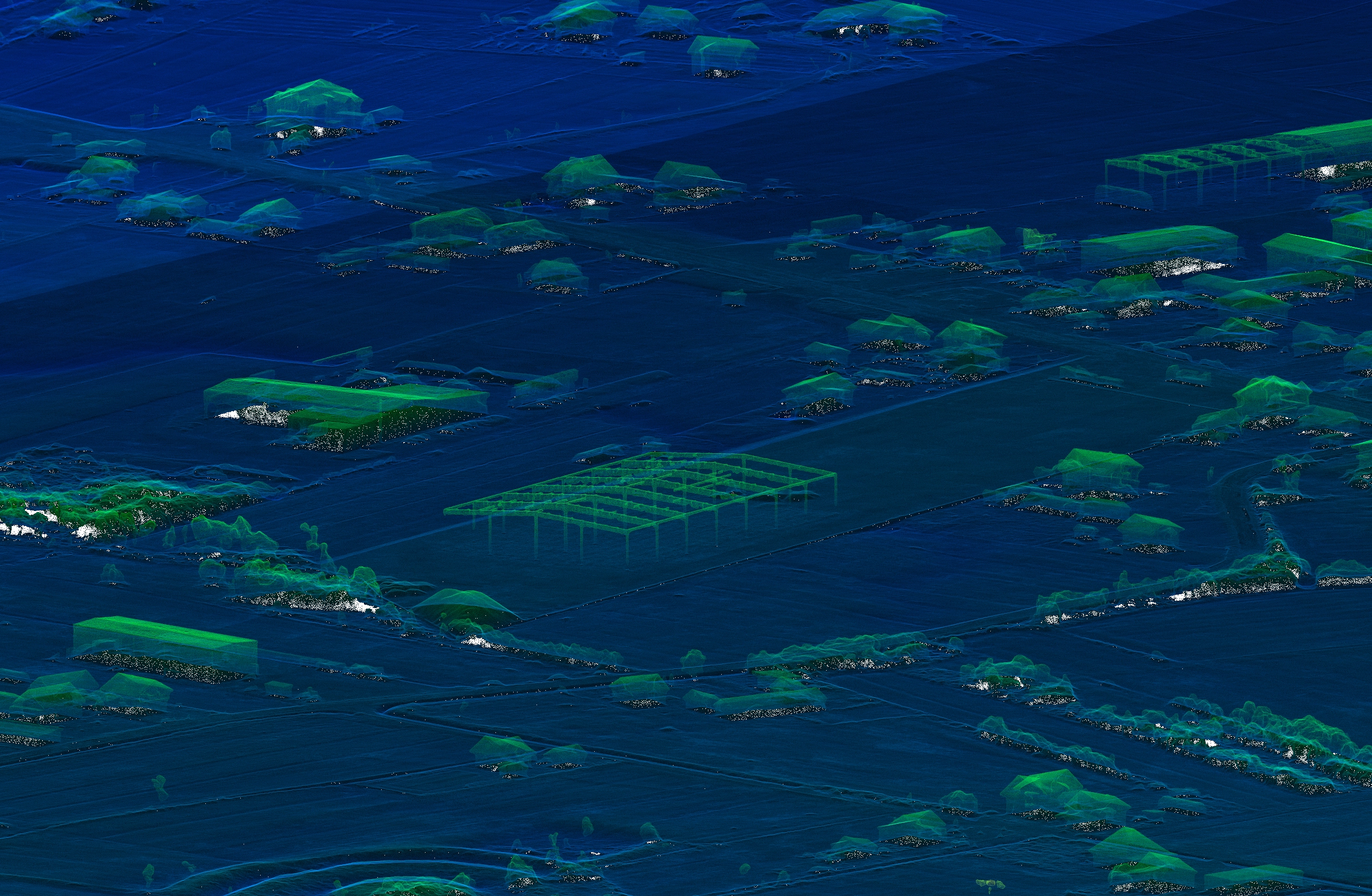
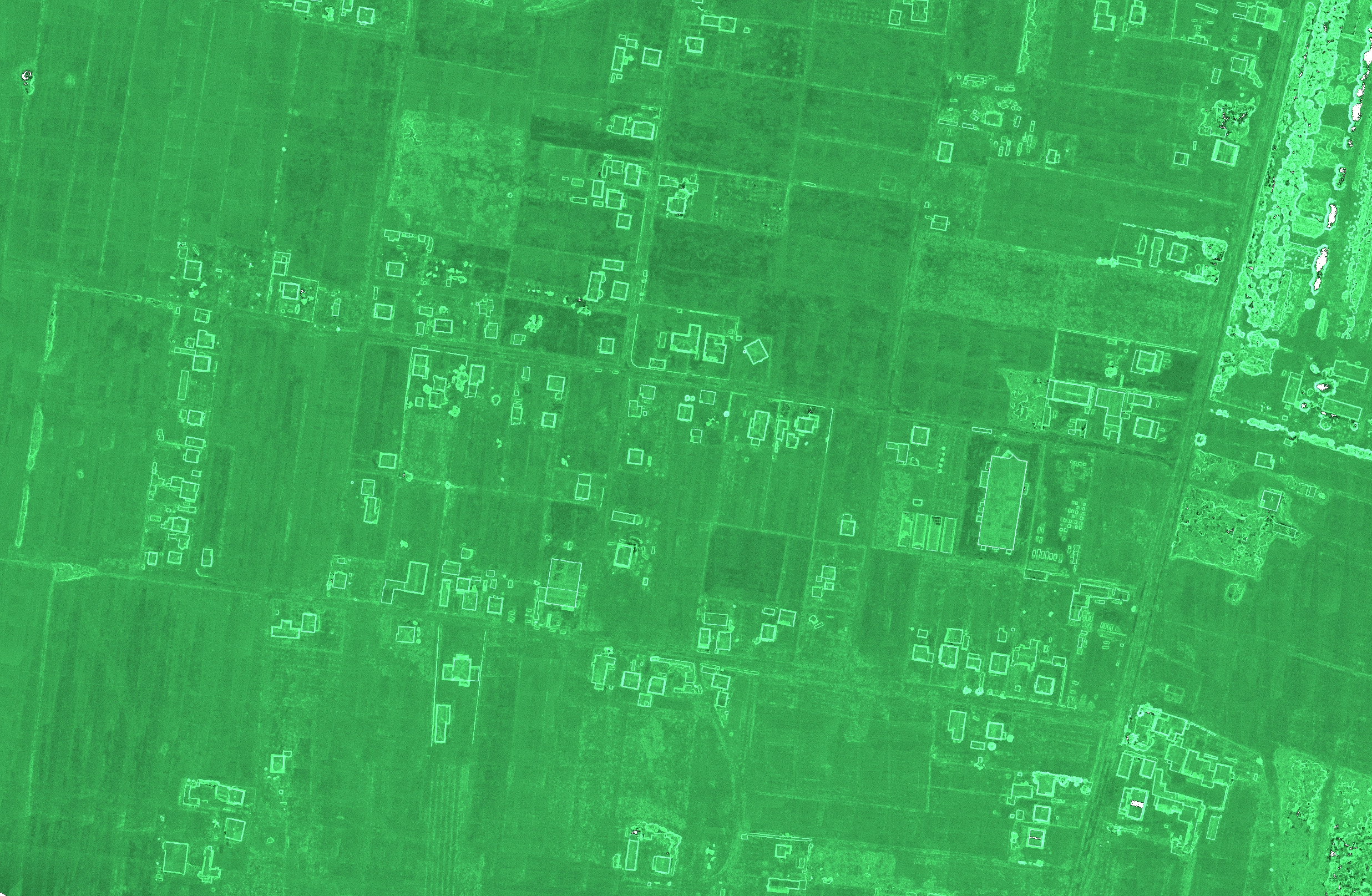
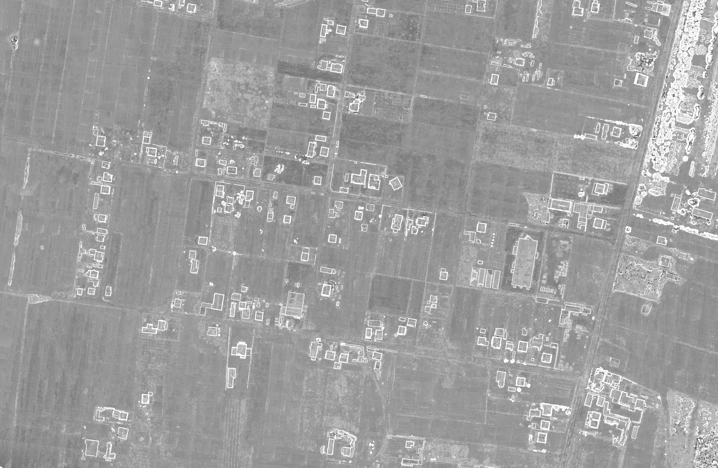
In the dynamic world of design and construction, the Pointcloud to CAD drafting process stands out as a revolutionary approach, offering unparalleled precision and efficiency. This transformative method not only streamlines project workflows but also enhances the accuracy of the final deliverables, setting a new standard in the industry. Our commitment to leveraging this technology has brought numerous benefits to our clients, as exemplified by the successful completion of the Zoning Plan Pointcloud to CAD project a year ago.
The Pointcloud CAD Drafting Process: A Game-Changer for Clients
Our Pointcloud to CAD drafting process begins with the collection of detailed environmental data through advanced LiDAR and Photogrammetry techniques. This data, comprising millions of data points, is then meticulously converted into a comprehensive 3D CAD model. This conversion process involves sophisticated software and algorithms, ensuring that every detail from the pointcloud is accurately represented in the CAD model.
Benefits for Our Clients
- Enhanced Accuracy: By starting with highly detailed pointcloud data, the resulting CAD models are of unparalleled accuracy, reflecting the true dimensions and nuances of the physical site.
- Time and Cost Efficiency: Our process streamlines project timelines, allowing for faster turnaround without compromising quality. This efficiency translates into cost savings for our clients, as it reduces the need for physical site visits and manual measurements.
- Improved Decision Making: The precision of our CAD models provides a solid foundation for decision-making, enabling clients to plan and execute projects with confidence. It eliminates guesswork and allows for the optimization of designs before construction begins.
- Versatility and Customization: Our approach is adaptable to a wide range of projects, from complex architectural designs to intricate zoning plans. We tailor our process to meet the specific needs and requirements of each client.
- Risk Reduction: With accurate models, potential issues can be identified and addressed early in the design phase, significantly reducing the risk of costly errors and delays during construction.
Case Study: Zoning Plan Pointcloud to CAD Project
A year ago, we embarked on a project that perfectly illustrates the power of our Pointcloud to CAD drafting process. Our client required a detailed zoning plan for a large development area. Traditional surveying methods would have been time-consuming and less accurate, given the complexity and size of the area.
By utilizing Pointcloud data, we were able to capture every detail of the site, including topography, existing structures, and natural features. This data was then converted into a precise 3D CAD model, which served as the foundation for the zoning plan. The model allowed for accurate space allocation, compliance with regulatory requirements, and optimized land use.
The project was completed ahead of schedule, with the final zoning plan exceeding our client's expectations in terms of detail, accuracy, and usability. It served as a testament to the benefits of integrating Pointcloud to CAD technology in urban planning and development projects.
