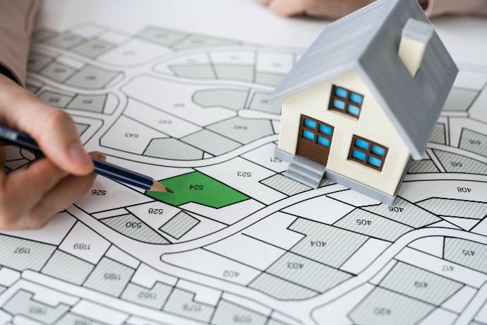
Are
you buying or selling a parcel, but you are doubtful about where the
exact boundaries are? Do you want to build a new object, fence,
or plant seedlings?
In all these situations, it is crucial to do boundary surveying.
Sometimes, the lot borders are neglected, or the successors selling the parcel are insecure about the precise boundaries.
That’s why it’s highly recommended to do boundary surveying when making a sales contract to avoid any unwanted situation in the future.
How long does the process take?
When you hire a surveying agency, they collect all information from the cadaster, which can take up to 5-10 days. After that, a surveyor visits the place and determines the exact borders.
The owners of nearby parcels must be present during this process to give their confirmation. If they confirm and sign, you will get an official record for the parcel division.
Call us for any assistance that you need, inform yourself, and get a FREE CONSULTATION. We will help you to solve any issue you have.