Do you have a field, parcel, forest, or real estate that needs to be divided?
After you get a confirmation for parcel division from the state authorities, a surveyor will draw up a division plan according to the deal between all sides.
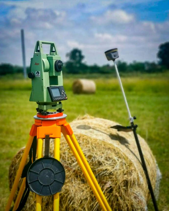
The next thing that the geometer will do is to determine the exact physical boundaries on the field and put all collected information into cadaster.
When this is done, you can officially become the owner of your part by probate decision or a purchase agreement.
The whole process can last up to 3-4 months or longer, depending on the situation.
Call us for any assistance that you need, inform yourself, and get a FREE CONSULTATION. We will help you to solve any issue you have.