Does your project require covering a large area in a dense forest? Do you need additional information about facilities on the ground?
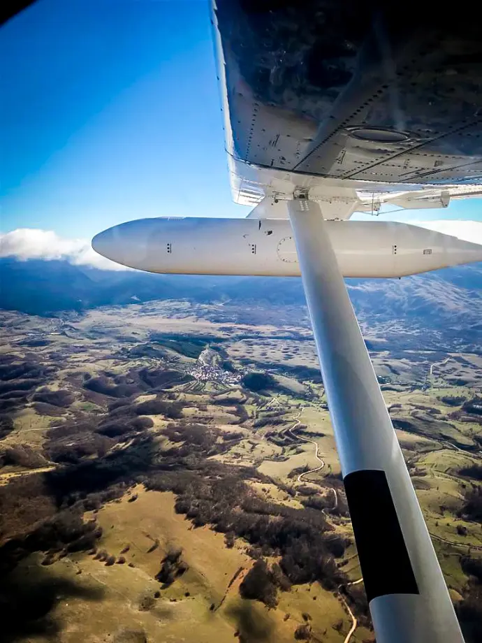
Aerial mapping with the LiDAR system is best for big projects and spaces, and it will help you to get the necessary data quickly and with minimum fees.
One of the differences compared to photogrammetry is that aerial LiDAR laser beams can sometimes pass through wooded areas with tight canopies. That will allow you to get some information about the structures on the ground below the trees.
That is particularly important when planning to construct a new road or when you need details about vegetation and the habitat.
Aerial mapping will help you with big projects in large scopes, such as power lines inspection or densely forested spaces.
Click on the button and book a video meeting.
We will get to know each other, talk about your wishes and help you to choose the best surveying techniques for all your needs.