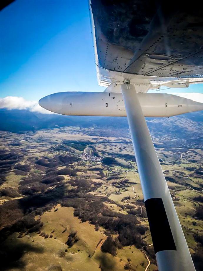
Areal Photogrammetry
Although drones are practical and suitable for many surveying projects, sometimes you'll need a more advanced solution.
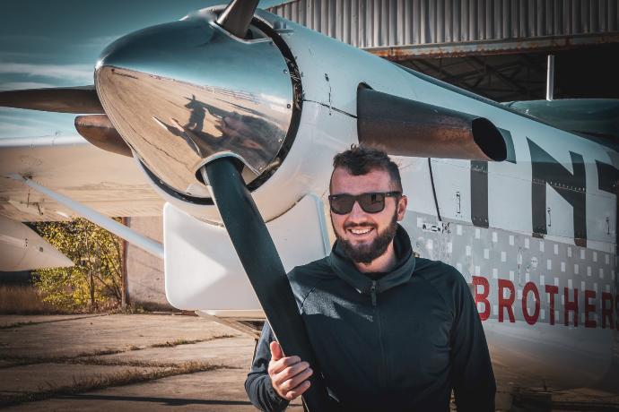
If you plan a project over a large area, the best solution for collecting data is aerial surveying by aircraft or helicopter.
They can cover much bigger distances and spaces, while drones are better for inspecting small objects and surveying small areas.
What are the benefits of aerial photogrammetry?
Covers large areas: airplanes and helicopters can fly long distances, which makes them suitable for big projects.
Planes
can bring heavy and advanced equipment:
sometimes, it's necessary to do measurements with hefty equipment, which is
impossible with drones.
More accurate data: tools and sensors that aircraft can bring are more expensive and extremely precise. That will allow you to gather highly accurate information about the area.
Time-saving: it will save a lot of time and keep pace with your project deadline.
Aerial photogrammetry is essential for major projects over a large area. This method of surveying is the best option for collecting exact data with minimum time and effort.
Click on the button and book a video meeting.
We will get to know each other, talk about your wishes and help you to choose the best surveying techniques for all your needs.