What happens when the project requires different monitoring techniques to achieve the best results?
This situation calls for combined monitoring.
What is a combined monitoring?
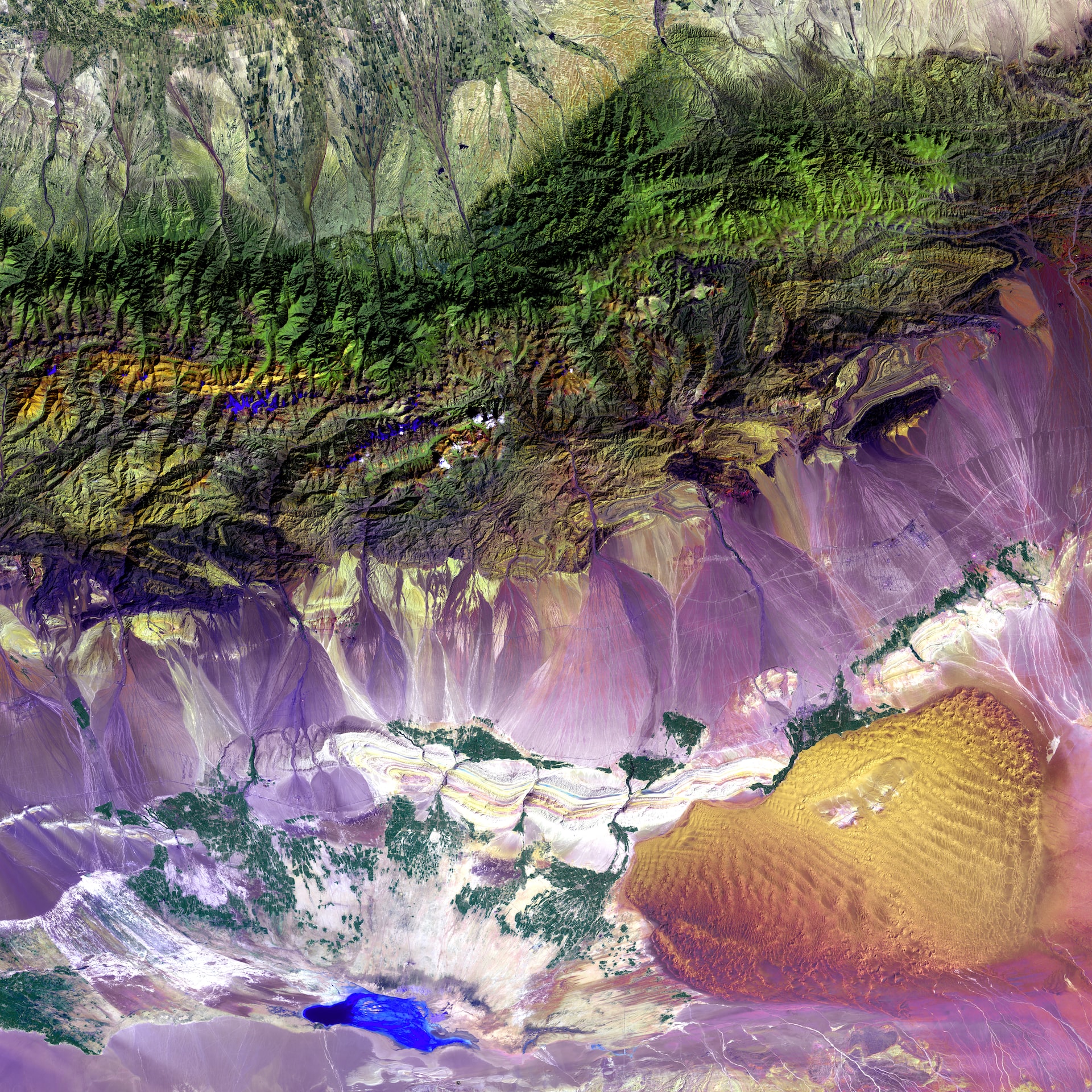
InSAR monitoring can reveal shore settlement and stability within millimeters, while automated monitoring can track all changes 24/7 on the ground.
This sentence is an example, but the point is clear. It's essential to detect and prevent all issues before they happen. Combined monitoring can help you save time, money, and effort.
Every
project is a story itself. We will recommend the most suitable method for every
undertaking you have.
Click on the button and book a video meeting.
We will get to know each other, talk about your wishes and help you to choose the best surveying techniques for all your needs.