Did you know drones can cover up to 10km² with a single flight?
When you get precise data as well, it's even better.
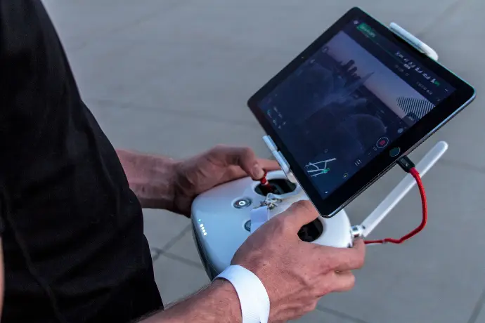
That's why drone scanning is among the best surveying techniques for many projects.
This process involves LiDAR equipment, which uses lasers to target the object or an environment.
What makes UAS mapping a reasonable and inexpensive surveying solution?
Incredible data precision
With
vertical accuracy of 5 cm (about 1.97 in) and horizontal of 10 cm
(about 3.94 in), this surveying method is a great option if your project
requires absolute preciseness. You will get billions of precise points captured
in a 3D point cloud, which you can use for different purposes.
Efficient and easy to use
Drone scanning provides valuable information about an object or an environment. The
data is immediately available and ready to use with just one click.
Real-time overview
3D point cloud ensures an instant insight into the situation, which helps make decisions faster.
Minimizes costs and improves safety
Drone scanning is affordable, which will reduce costs and help you optimize the
budget. It will also enhance security because you don't need to send
workers into dangerous areas.
Applicable and suitable for many industries
UAS mapping is an excellent solution for surveying, topographic mapping, law
enforcement, agriculture, and many other fields.
Drone
mapping
is a useful, practical, and efficient way to gather necessary data and create many different 3D models.
Click on the button and book a video meeting.
We will get to know each other, talk about your wishes and help you to choose the best surveying techniques for all your needs.