Monitoring objects and environments that are easily accessible is not challenging. But, for large entities and inaccessible areas, you will need adequate equipment and approaches.
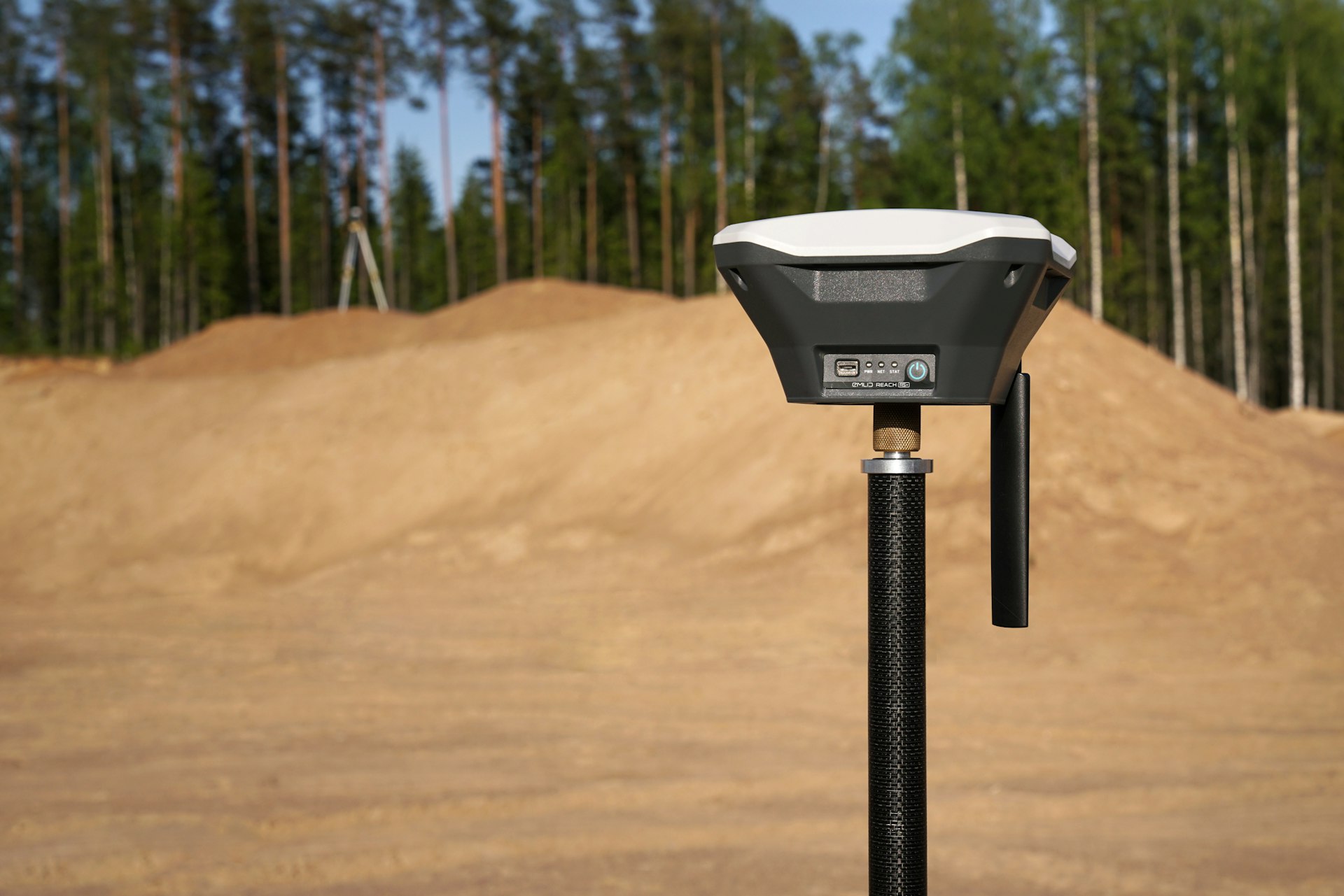
You will need GPS/GNSS monitoring.
This method gives the best results for structures such as high-rise buildings, bridges, and dams. It is also an excellent solution for monitoring surface mines, subsidence zones, and landslides.
Let's check the main advantages of GPS/GNSS monitoring
Accurate data
It provides a detailed three-dimensional overview of tilt measurement and displacement. That is vital for checking all changes over time.
Easy to use
This technique is simple and practical in many situations. It will save time and money.
Appropriate for extreme weather conditions
If your project requires monitoring in a hard-to-reach area or harsh weather conditions, it's the best option.
GPS/GNSS monitoring
is ideal for large structures and unreachable locations. It will ensure accurate information and save valuable time.
Click on the button and book a video meeting.
We will get to know each other, talk about your wishes and help you to choose the best surveying techniques for all your needs.