
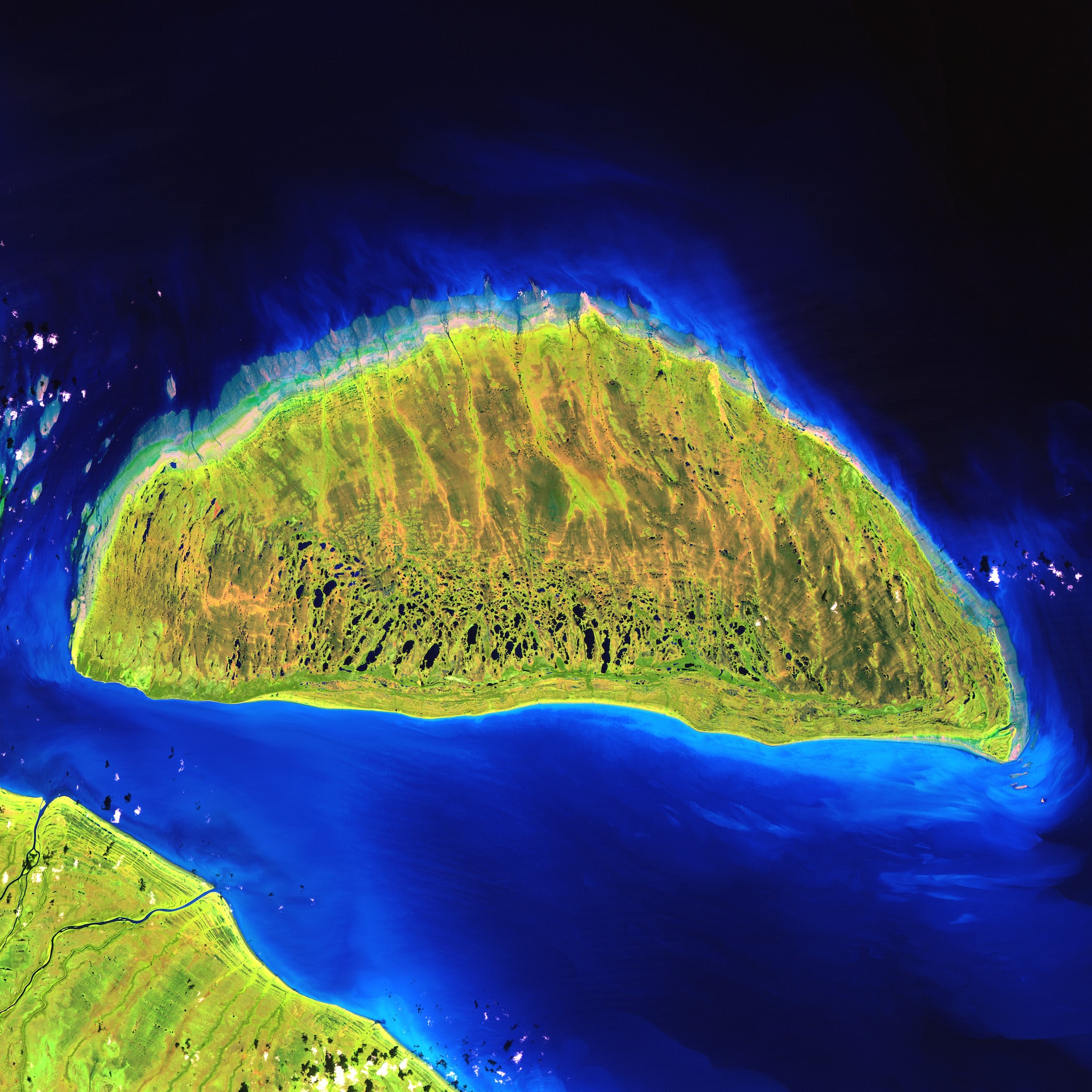
What connects monitoring extensive
areas, highly accurate data, and the possibility of tracking the changes
even in dark or bad weather?
It's an effective,
valuable technique called InSAR monitoring.
Due to its superb precision,
this method is an ideal option for wide spaces. It uses radar images to
monitor and map all deformations on the ground.
What are the
benefits of InSAR monitoring?
Possibility to operate during harsh weather or in darkness
One
of the best things about this technique is that radar can penetrate theclouds. It provides monitoring in low visibility conditions,
delivering essential information during an earthquake or volcano eruption.
Extremely high precision
InSAR satellite monitoring can detect movements and deformations from millimeters to centimeters. That allows a detailed overview and encourages better decision-making.
Versatile
This monitoring approach is practical and compatible with many geospatial software solutions. You can use it for multiple purposes.
Appropriate for different industries
It
helps monitor volcanoes, landslides, earthquakes, coastal stability, mine
subsidence, construction settlement, tunnels, power stations, and
oil and gas production.
InSAR monitoring is a helpful method for observing and checking large zones and is suitable for many applications.
Click on the button and book a video meeting.
We will get to know each other, talk about your wishes and help you to choose the best surveying techniques for all your needs.