What if we tell you this:
- Much lower fees and more accurate construction data?
With 3D laser scanning, precisely terrestrial laser scanning, it's more than possible.
As technology is going forward, surveying methods are developing more and more. That leads to fewer expenses, better information analysis, and saving time and energy.
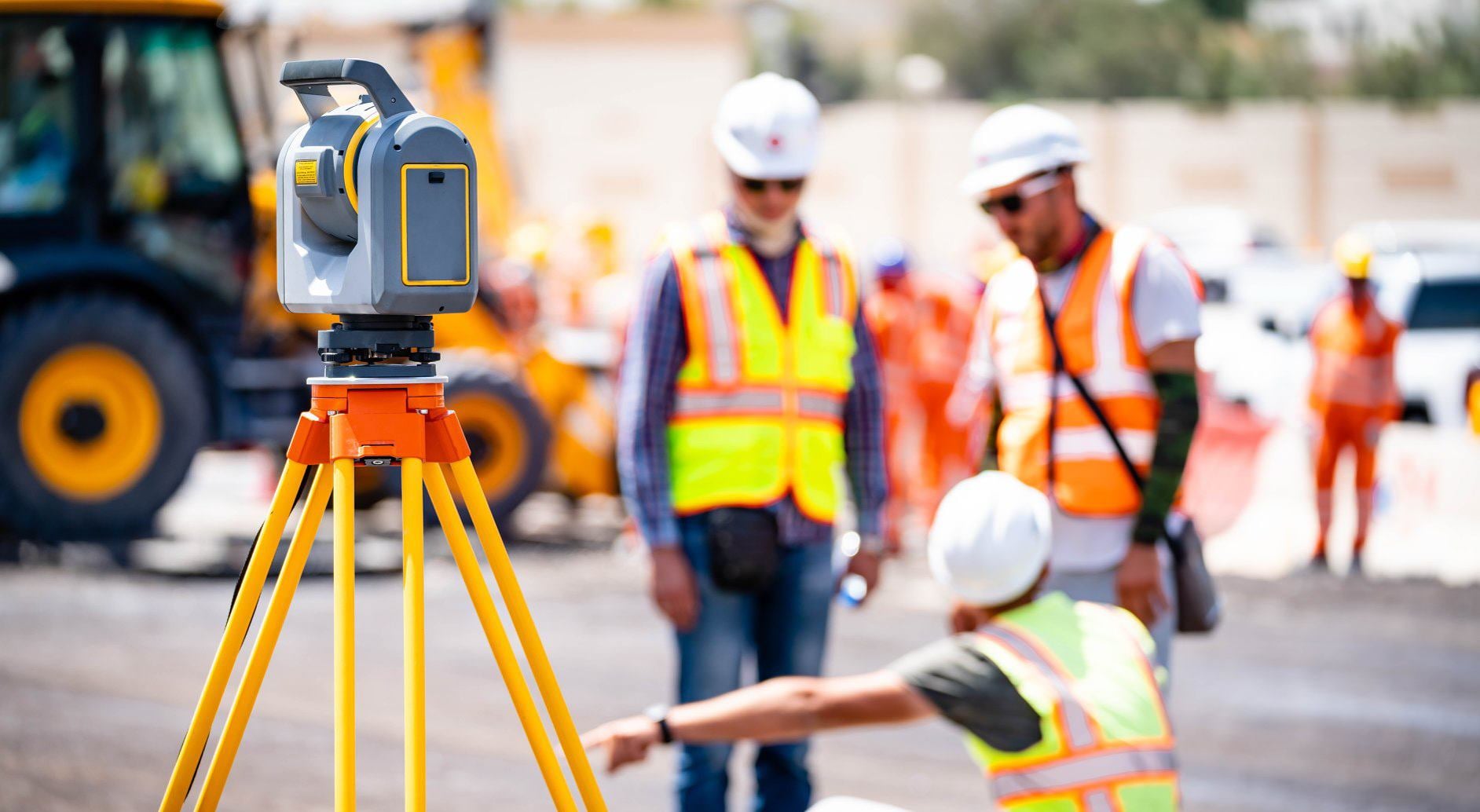
The essential advantage of terrestrial laser scanning is providing detailed data without a physical presence on the site.
A laser quickly gathers all details and makes a 3D point cloud with millions or billions of data points. With the information you get, it's possible to make a precise 3D model of the building or an environment.
Let's
see what the benefits of terrestrial laser scanning are
Reduces costs and speeds up the process
3D laser scanning saves time and provides accurate construction data with minimum
charges, which is crucial for every project.
Suitable for inaccessible or hazardous areas
This
type of surveying rises safety and decreases expenses for health
and safety measures. It is an excellent solution when the site is not easily
reachable. It will collect information rapidly and without human presence
and manual measurement.
Appropriate for different purposes
Terrestrial laser scanning is excellent for making various 3D models and
helps you deal with many construction projects and environments.
Terrestrial laser scanning is a highly-efficient way of collecting data that will save time and money and increase safety.
Click on the button and book a video meeting.
We will get to know each other, talk about your wishes and help you to choose the best surveying techniques for all your needs.