Leading Surveying and Geospatial / Spatial data processing services for Your industry


Photogrammetry
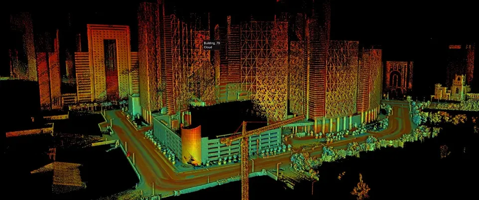
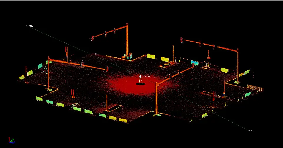
3D Laser Scanning
GIS and Mapping
Data processing
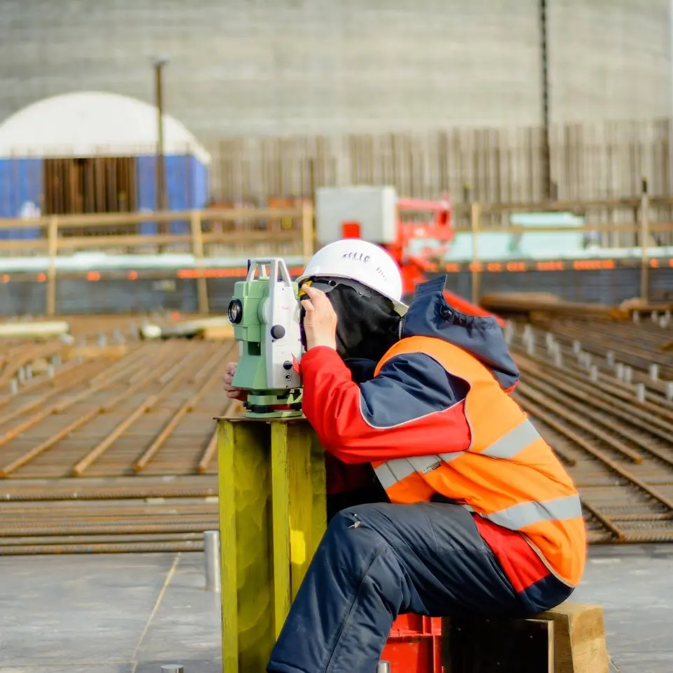
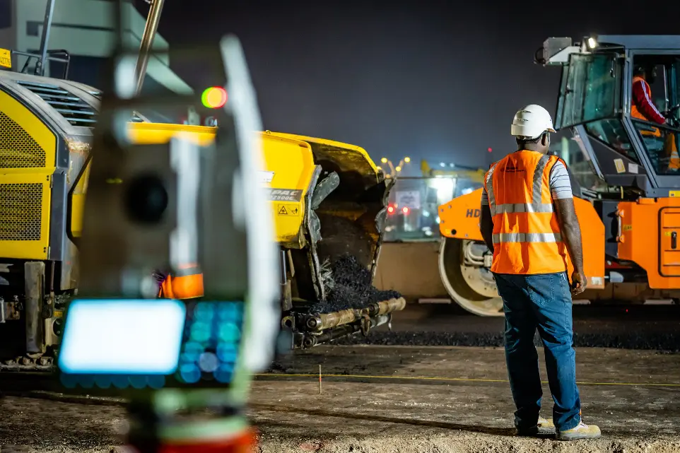
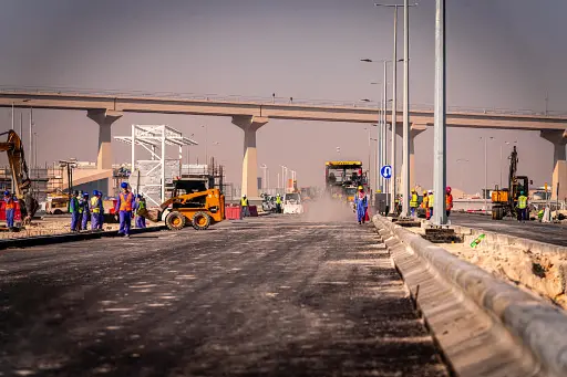
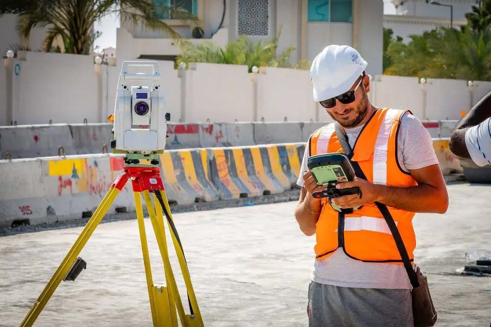
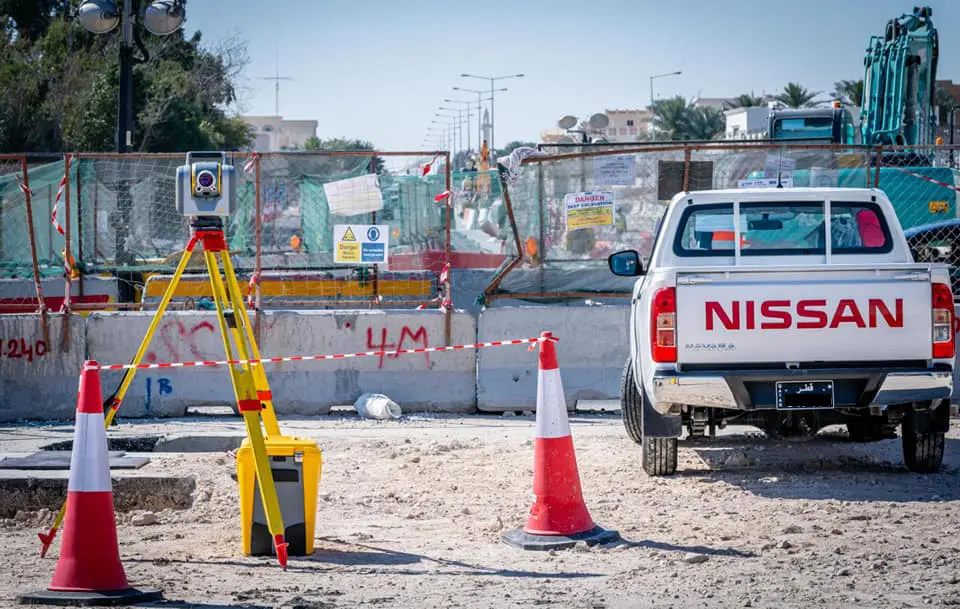
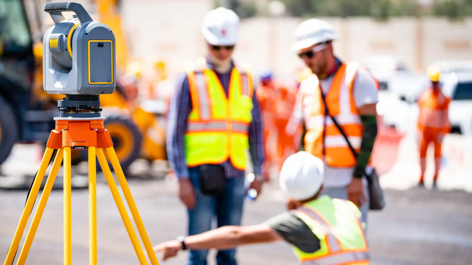
Construction Surveying
Cadastral Geodesy
Monitoring
Inspections
Years in business
Projects
Offices
Delighted clients
Cut your data processing costs up to 70%!
Cut your Scan 2 BIM, Scan 2 CAD , Photogrammetry and any other type of LiDAR (point cloud) data processing by hiring our team.
Risk free! Unique offer! 1st demonstration processing is on us!
News, projects and success stories
Benefits working with us

Professional services
Our professional surveying services offer clients accurate, reliable, and comprehensive data, ensuring informed decision-making, regulatory compliance, and optimal land management, ultimately saving time and resources in various industries and applications.

Best quality deliverables
Best quality surveying deliverables provide clients with precise, reliable data, enabling informed decision-making, regulatory compliance, and efficient project execution, ultimately leading to cost savings and successful outcomes in diverse industries and applications.

Fastest project completion
Fast project completion benefits clients by reducing costs, minimizing disruptions, and ensuring timely results, enhancing overall efficiency and satisfaction in various industries and applications.

Exponential cost reduction
By leveraging the latest surveying techniques, we guarantee cost savings for our clients through enhanced precision, streamlined processes, and reduced resource utilization, ultimately maximizing efficiency and value in various industries and applications.
Project photos
*Disclaimer - All bellow presented photos are taken by our team and as such they can't be used and presented elsewhere - *End of disclaimer


Do You have project or need for Geospatial Services?
Contact us now and we will solve your problems!