Welcome to the surveying world of various possibilities, reduced costs, and highly accurate data.
Welcome to mobile mapping.
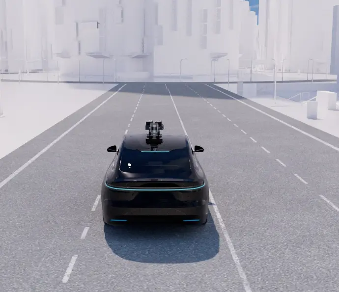
Mobile mapping is a surveying method that collects data using a mobile vehicle fitted with equipment such as radar, camera, scanner, LiDAR system, etc. It can be a car, boat, drone, van, train, or airplane.
Its main advantage is that it's suitable for different industries and projects.
For example, if you plan to
construct a road, railway, or highway, it's probably the
best option. Mobile mapping is easy to conduct, even in urban
areas.

How does this process work?
A surveyor drives the car at the usual traffic speed while the high-tech tools gather necessary data in seconds.
Sometimes the surveyor will carry the equipment personally and do the whole process simply by walking, without any vehicle!
This method is called SLAM mapping. It provides a realistic 3D model with a special scanner algorithm, making it a revolutionary approach in mobile mapping surveying.
Let's see the main benefits of mobile mapping
Perfect for many industries and projects
This
surveying method is the best solution for roads, highways, railways,
mapping urban areas, for underwater and underground structures.
High-accuracy data and widespread use
It
provides exact information about the environment and objects. The data gathered
during this process allows you to make different 2D or 3D models for many
projects.
Efficiency
It
saves time, money, and effort. If you have a short deadline or a limited
budget, mobile mapping will quickly provide the necessary
information with minimum costs and workforce.
Improves safety
If
the environment is risky, don't worry. That's where this effective
technique pops in. It will allow you to organize this process with minimum
traffic management and improve the security of workers and the public.
Collecting a large amount of data in a short period
This
method is highly efficient because it provides much information in
seconds. That is crucial for every project. It saves time and enables faster
decision-making.
Mobile mapping changes the surveying of how we know it in a better way. It's cost-effective, helps faster collecting data, and provides more precise information all at once.
Click on the button and book a video meeting.
We will get to know each other, talk about your wishes and help you to choose the best surveying techniques for all your needs.